Xinjiang
Choose a region before you choose a route
Use southern Xinjiang, northern Xinjiang, and the Tianshan corridor as an editorial model for comparing distance, weather, and transfer demands—not as an official classification.
Travel shape
This page organizes Xinjiang travel choices into southern Xinjiang, northern Xinjiang, and the Tianshan corridor as an editorial model, not an official administrative or tourism classification.
Transfers
Transfers between prefectures carry substantial distance costs and should be planned as separate regional movements.
Weather
Rain in northern Xinjiang, sand and dust in the south, and severe mountain weather can all disrupt cross-region travel.
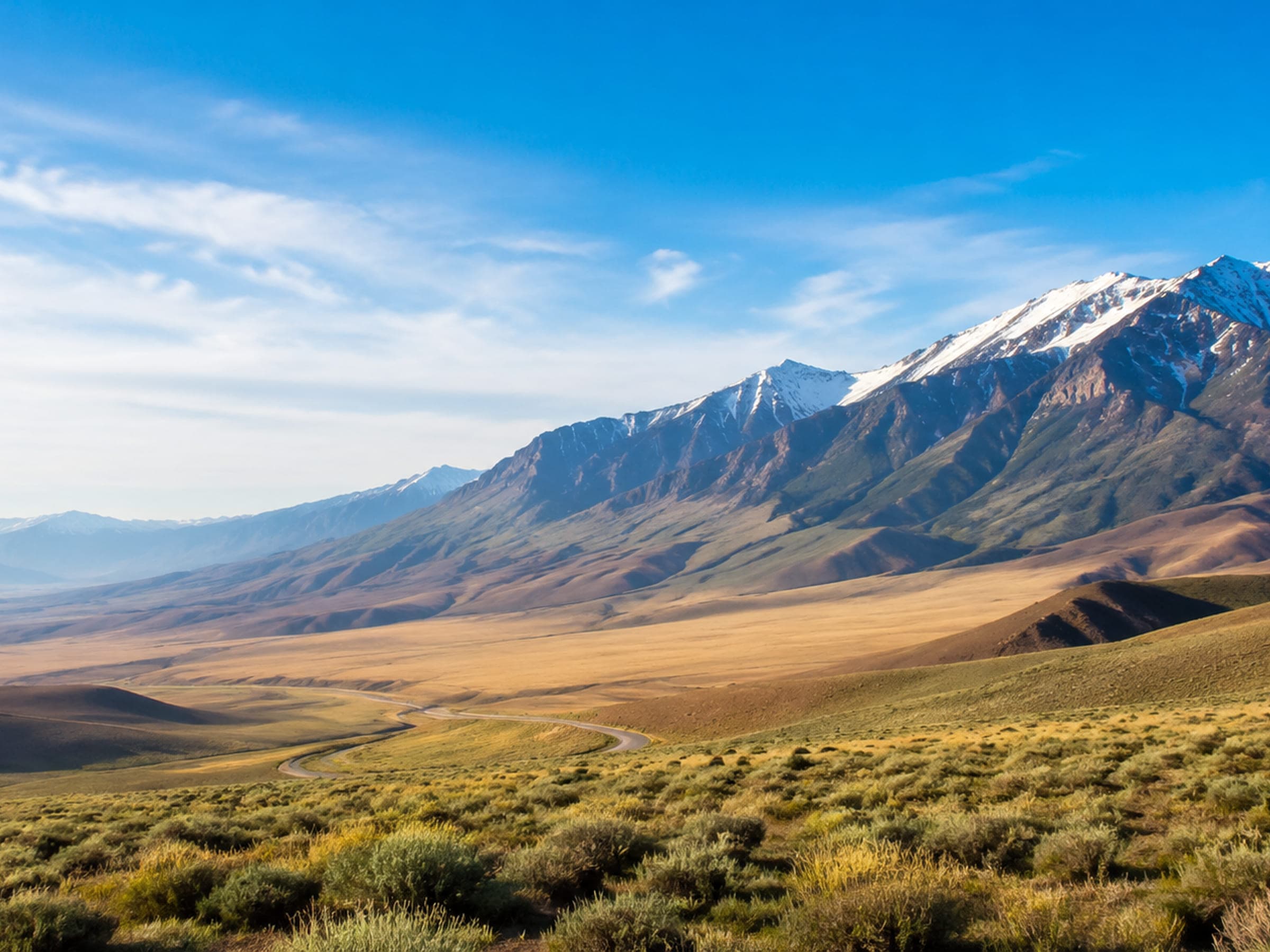
Start with the question you care about
Where things are
Northern Xinjiang, southern Xinjiang, and the Tianshan corridor require real choices
Use the relationship map to compare the editorial regions and transfer patterns. Check actual weather, roads, rail, and attraction rules before departure.
Got the area picture? Now choose your pace.
Compare a compact stay, the source-backed route, and a slower extension before planning details.
Practical questions before you go
How long do you want in Xinjiang?
Choose the pace closest to your holiday. Only the source-backed route opens a full detail page; the others go to planning.